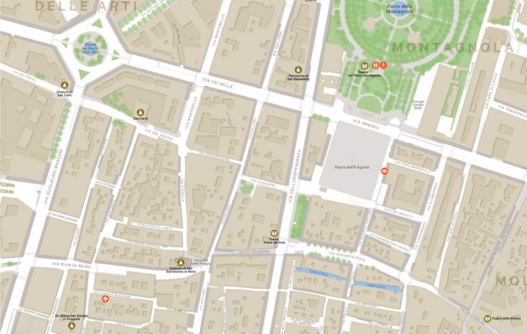
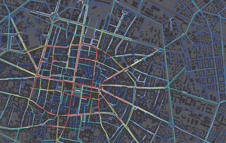
Steer has been working with the City of Bologna since 2014 in helping the city council develop its first city wide wayfinding strategy. The strategy provides a framework to deliver a signage and information system for pedestrians and cyclists.
Bologna is a unique city with almost 40 kilometres of porticos (covered walkways) within the historic walled centre which is home to a varied mixture of monuments, landmarks and architecture. The key for any proposed system is to be able to communicate this rich history into products that are of the place but do not compromise the functional effectiveness of the system.
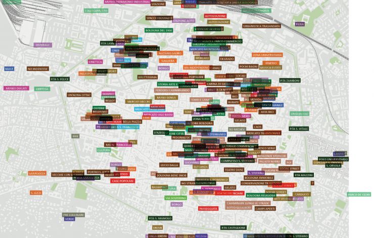
Elements of the strategy included establishing a set of conventions and a hierarchy for naming areas and places. One of the primary outputs of the strategy was the first phase development of a city wide pedestrian map. The wayfinding project is also the first expression of the new city brand.
The project is currently ongoing.