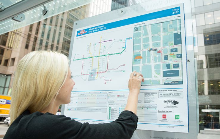
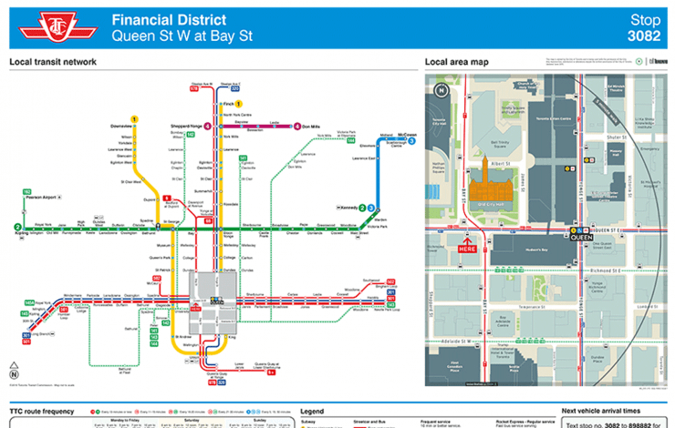
Steer was commissioned with our mapping partners, T-Kartor, by the Toronto Transit Commission (TTC) to improve and systematise the design of their local transit network diagrams and posters. Key to this assignment was the opportunity to integrate the TO360 wayfinding map base to provide consistent information across different transportation environments and modes.
Our approach included analysis and development of a pilot spider map originally developed by TTC to establish and agree a new design standard for stop/hub specific transit information. This included synchronising the map standard with the TO360 graphic design and mapping conventions. The process included intensive transit data analysis (GTFS), stakeholder engagement across TTC departments, and requirements mapping as part of the production process, print testing and documentation of all specifications.
The output of the project consisted of the efficient and quality assured production of over 30 individual posters with customised information per stop. The posters were installed in and around the Financial District, delivering an integrated pedestrian/transit information pilot in the summer of 2015.